An engineering firm conducting a storm water management study for BCIT used RPAS Hub expertise to collect data for a storm water run-off model.
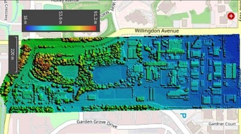
To assist Stantec engineers, Eric Saczuk flew a DJI Inspire 2 RPAS with a Zenmuse X4S RGB camera over the Burnaby campus to capture data for a full 3D model, including digital surface and terrain components. The data are also available to other researchers at BCIT and have already been used for an NSERC-funded project headed by Dr. Fitsum Tariku, Canadian Research Chair in Advanced Building Systems.