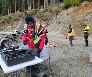
A project funded by Mitacs Accelerate is getting underway with a student from the Geomatics department in partnership with Stinson Aerial Services and the Huu-Ay-Aht First Nation on the west coast of Vancouver Island. This project aims to develop practice standards for capturing, processing, and analyzing multispectral imagery using a remotely piloted aircraft system in forested areas. The project has two goals: identifying the salvageable timber volume in an area that was recently harvested and determining if drone-acquired multispectral images are useful in assessing forest health.