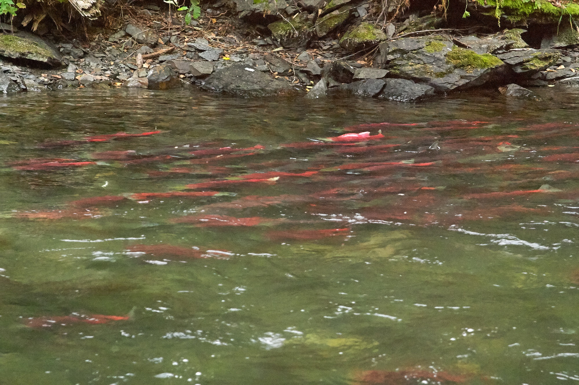
Mapping salmon-spawning habitat
—March 2021
In this sustainability initiative, BCIT students and instructors are gathering data on a salmon-spawning habitat in BC. A combined group from Ecological Restoration, Forest and Natural Areas Management, and Geomatics are using RPAS to analyze the sensitive salmon-spawning habitat at the Cheakamus Centre in Squamish. Students, faculty, and industry partner UAviation were recently onsite to gather data, including LiDAR captured by UAviation and thermal, RGB, and multispectral images collected by the RPAS Hub.
This project is supported by the Green Value Strategies in Development Fund, a BCIT endowment that advances sustainable practices between the natural environment and the built environment.
Assessing forest health
—March 2021
A project funded by Mitacs Accelerate is getting underway with a student from the Geomatics department in partnership with Stinson Aerial Services and the Huu-Ay-Aht First Nation on the west coast of Vancouver Island. This project aims to develop practice standards for capturing, processing, and analyzing multispectral imagery using a remotely piloted aircraft system in forested areas. The project has two goals: identifying the salvageable timber volume in an area that was recently harvested and determining if drone-acquired multispectral images are useful in assessing forest health.
Profiling the urban atmosphere
—December 2020
Using drones outfitted with temperature sensors and loggers, BCIT students are measuring atmospheric pollutants above BCIT campuses to study the effects of pollution on temperature.
A multi-disciplinarian team of students from Geomatics, Building Science, and Environmental Engineering is profiling atmosphere parcels at different altitudes and in different environments, including seasonal variations and above concrete and green spaces. Over the course of two years, three students will collect project data in Burnaby, while another Environmental Engineering student will conduct a similar endeavour at four different locations near downtown Vancouver. The data will be used to create visual profiles of the air in urban environments for studies on “urban heat Island effects.”
As of January 2021, the students, together with instructors Dr. Rodrigo Mora, Dr. Olga Petrov, and Dr. Eric Saczuk, have completed eight successful flights.