The South Campus Infrastructure Renewal Project (SCIR) addresses critical infrastructure needs at BCIT’s Burnaby Campus, focusing on the replacement of utility systems, realignment of utility corridors, and integration of future developments such as the daylighted Guichon Creek corridor.
With a $48 million investment from the Province of British Columbia, this phase of the SCIR project encompasses two separate zones with construction set to begin in 2026 and to run until 2029.
Project Aims
The goal of the BCIT South Campus Infrastructure Renewal Project is to modernize critical systems, including electrical, gas, water, sanitary, and stormwater services, to enhance campus operations and sustainability. This will improve electrical capacity, enhance stormwater management, and create ecological features like the daylighting of Guichon Creek,
Upgrades to the public realm will go along with improved infrastructure. These redesigns will enhance landscaping, accessibility, and sustainability, and create a more pedestrian friendly campus.
Project Scope
This project encompasses multiple phases of work that will allow for:
- Design and replacement of campus infrastructure systems
- Future proofing for new building locations
- The updated electrical network will support the new BC Hydro 25 kV system
- This project will provide enhancements to the public realm
- Improved pedestrian access
2025 Completed Enabling Works
2026 Construction
2027 Construction
2028 Construction
Interactive Construction Map
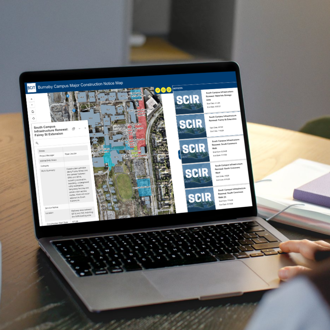
We've created an interactive map that allows you to explore the construction over the next three years. You'll be able to check the impacts of individual phases of work and see how the whole project comes together.
Project Construction MapHow to use the map
- Construction is color coded by year so you can get an overview of what construction is happening over time, or look at a specific time period.
- Each area of work can also be selected individually. The description includes details and dates of the work, and links to service notices for the work.
- The map also includes alternative drive routes, which are needed when work impacts roadways or parking lots. These can be toggled on so you can plan you journey.
- The map also shows all the other major projects happening on campus, so you get the full picture of construction.